|
Monuments and Water: |
|
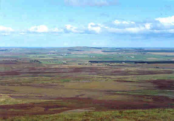
Caithness The landscape is not entirely comprised of lowland plain; there are several prominent areas of higher ground that appear to have been significant features in the creation of many of the monumental landscapes. These include the Morven range, Beinn Freiceadain and Ben Dorrery, Ben Griam Beg and Ben Griam Mor on the periphery of the landscape, and Spittal Hill, which occupies a central position. In an area such as Caithness where long distance views are the norm, these distinctive topographic features would have played an important role in the lives of mobile populations. They would have enabled people to orientate themselves around the landscape, following well-worn paths and exploiting particular resources. As Tilley (1994, 38) notes in his examination of traditional Australian Aboriginal populations, “Attachment to and knowledge of a particular stretch of land was a fundamental part of existence.” We can suppose, therefore, that knowledge of paths of movement through Caithness, and an understanding of landscape ‘markers’ was an integral component of life here too. |
|
Plate 1 – Views from Beinn
Freiceadain across Caithness, towards Spittal Hill (centre horizon) |
|
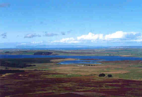
Such markers are likely to have been imbued with symbolism and myth, with tales told to reinforce their central role in daily routines of movement (Bradley 1993). Ancestral power and knowledge would have been appropriated simply by moving along existing paths through the landscape, and through this movement the complex relationships between humans and their natural surroundings would have been renewed (Tilley 1994). Water also dominates this landscape, and there are few places where the sea, a loch, a burn or a wetland area is not visible. The rain adds to this perception, particularly as it is possible to see showers moving across the land and sea from great distances. I will be examining the topography and natural elements of Caithness further, in relation to the monumental landscape at Camster. |
|
Plate 2 – Views from Beinn
Freiceadain across Loch Calder and the Pentland Firth, towards Hoy |

